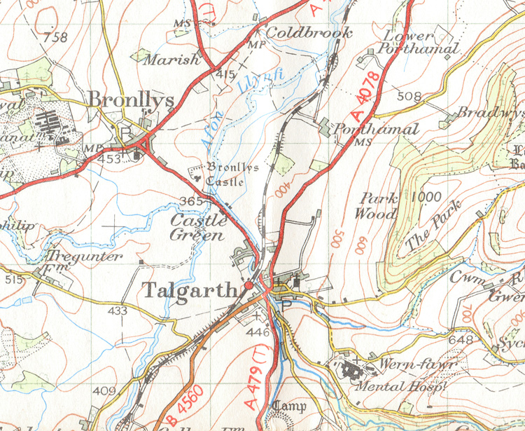
Ordnance Survey 1" to the mile, 1948
Orientation time. This is an the ordnance survey map from 1948 which shows the layout of the village. The railway runs from South to North
(Black and white hatched line), and the Cambrensis Dormitorium is positioned at Bronllys Castle, centre. The funfair and museum are about
where it says 'Castle Green'. The Mental Hospital to the lower right is the site of HiberTech (more pictures anon) and at top left, the symbol that looks a
little like the International Space Station is where the Dormitoria are all lying 'toadstool fashion' up the hill. This is where the Sarah Siddons is located.
|